These Books are made for Walking
Geotagging books, a pragmatic approach
What’s in a name? I could give my “invention” all kinds of fancy names: “Foot-Notes” maybe. “Walking Books”, “Narrative Landscapes”. Nice, huh?
Location-Based, Location-Schmazed. Been there, done that, tons of times. Too many art projects in the past have taken that approach: invented fancy names like “Locative Media”, “Psychogeography”, “Dot.walk”, “Smart City”. They all had the same problem: each one so far was an island, entire in itself, so far none of them provides an open, easy way for others to participate.
The underlying problem is this: a theory-driven, ivory tower approach. Many geolocation art projects have been immediately slammed by critics for buying into hierarchies of power, into fantasies of surveillance, espionage, location-based spam or, horror of horrors, perpetuating the old regime of Cartesian space.
I mean, come on. Similar arguments have been made against writing per se, even before there was a book culture to speak of. But how do we know of Plato’s criticism of writing? Because his students wrote it down.
There are instructive summaries of that theory-driven approach to location based technology, here’s just one: Christian Nolds Autopsy on Locative Media.
My own summary of that debate is this: Let’s get over it. My approach is pragmatic. It is a story of failure so far: I have published two, if you will, travel-related books and was not able to find an easy way of including geotags to my chapters. I fiddled around with it on Googlemaps, but the result leaves much to be desired. Here’s an example.
So please, softwarearchitects and e-book-librarians of the world, give me an easy way to geotag my books. It would be technically simple, with many reading devices nowadays having integrated Wifi, 3G and oftentimes GPS. In fact, it is a no-brainer. That’s the reason I will not give a fancy name to my modest proposal. Let’s just call it a standard for geotagging books. The idea is much the same as drawing up a convention for footnotes or for book citations. Nothing fancy, just plain old tags, preferably within html 5, as books and browsers seem to be converging fast.
But the simplest technologies often lead to the wildes innovations. Think text messaging.
So here are some things to think about when drawing up an open, simple way of geotagging books: What kinds of layers might emerge? What kind of spatial grammar could be used to filter different kinds of textual geotags?
Iconic geotags: The easiest one might be the guide book metaphor. Iconic geotags give you background information about the place where you stand. Think Lonely Planet, the app. It allows you to just get lost in a place you don’t know and once you get hungry, look up a restaurant nearby. Simple as that. A nice example for that approach is Art Space Tokyo. Not only because it includes a physical book that was republished as an e-book, but also because it relies on google maps, nice and simple and open.
Ironic geotags: You might want to comment on a place. When you walk through the Docklands of London and call up the smart-ass layer on your geotag-reading device, you might find the poem: The Waste Land. Or standing in front of Neuschwanstein Castle in Bavaria you might find a book called: The Invention of Tradition.
Fictional geotagging: Where was the setting of Infinite Jest? Where did Harold Bloom get drunk in Dublin? Wander through an atlas of fictional augmented reality. The “Infinite Atlas” is a very nice example.
Biographical geotags: Where did I read that book? Trace your autobiographical connections with a book: Oh, I read the German president’s autobiography in Bangkok, that’s right. Walk through Brooklyn and find a geotag that takes you to the place where Paul Auster lives.
Social geotags: with the advent of NFC and RFID technology, two geotagged reading devices might connect to each other. Yo, that guy over there is just reading the same book as you. Want to send him a message, want to talk to him, want to start an on-the-fly instant reading group, a flash-mob salon right here on this street corner? Go ahead.
Market research geotags: Who reads what where when? Cloud reading could enable social maps of where the readers of a particular book like to hang out. Oh, the readers of “Wir nennen es Arbeit” spend their afternoons around Café St. Oberholz in Berlin? And at night there is a whole cloud of readers congregating around the nightclub Berghain? What does that tell me about that book? What insight does that provide to writers?
Epidemiological geotags: Draw up a dynamic map of the spread of a certain book, say: Don Quixote. Where were the first readers, how did word of mouth travel, when did the book spread from Spain to France to Britain? Think flu maps, think traffic jam maps. An early, low tech version of that approach was Franco Moretti’s “Atlas of the European Novel, 1800–1900″.
Ok, ok, some of this stuff seems highly intrusive. Think bookspam, booksnooping. But let’s face it: Nobody knows what is happening right now in the book cloud of Amazon or Sony or the other big players. An open standard for book tagging would allow us to implenent transparency, interoperability, openness, privacy, security. And, of course, awesomeness. These books are made for walking.
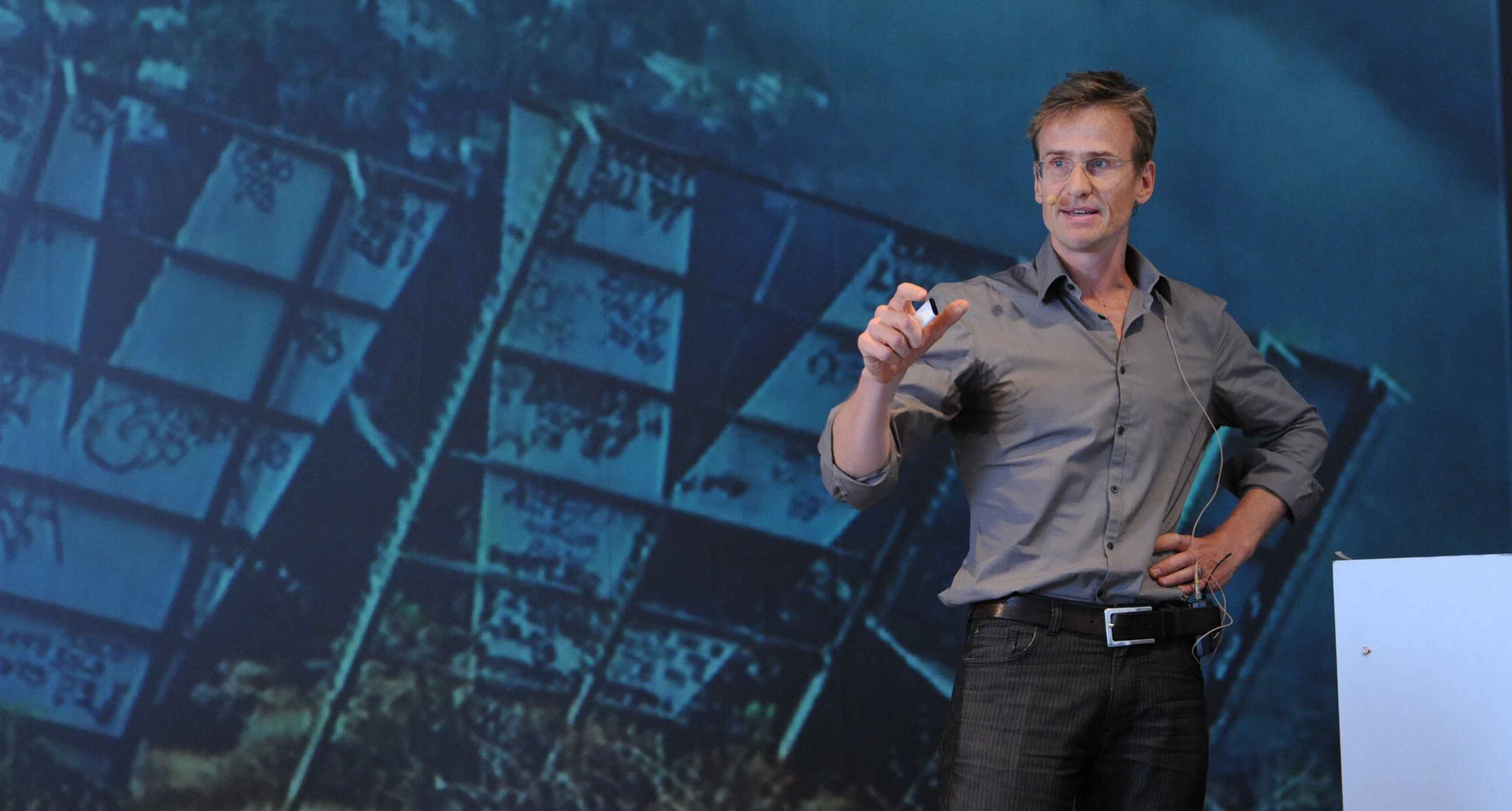
Here you can listen to Hilmar Schmundts talk at the LitFlow-Thinktank.


HILMAR SCHMUNDT ÜBER DAS GEOTAGGING VON BÜCHERN